Tag Archives: Pornichet

Leg 16 (2015) – Pornichet to Lorient Port Louis

The July 2015 blue moon taken at 0530
click to enlarge
Having had a dinner of Lin’s luscious mince (heavy on the onions, mushrooms and thick, shiny gravy) accompanied with sweet corn and peas and followed by cantaloupe melon with a touch of framboise liqueur and lime juice, we fell into bed soon after 8pm.

I was up at 0500.

Northwards Ho!

The forecast had come good. A final weather check showed that if we transited the west side of the Quiberon Peninsula at noon, the wind would be at slack. What could be better, given the westerly swell there can heap over the shallows.

That meant an ETD of 0800.
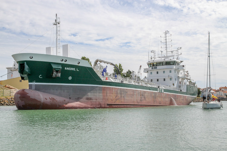
Goodbye Pornichet

Spot on 0800, with a coffee in my hand to look ultra-cool to onlookers, we slipped warps and motored out of the marina’s S-bend entrance, built to protect westerly swells from entering and disturbing the peace.

Heading west, the brisk easterly 15kt wind was directly behind us. Given we were on a falling tide, the ride was flat and stable. Lovely for a crisp morning departure.

En route

To complement the blue moon, the effect of the sunrise was also spectacular
click to enlarge
The passage turned out to be somewhat uneventful. No-one tried to crash into Play d’eau; no-one even threatened us. In fact, it was quite boring with no-one to grumble at about COLREGS to make us feel holier than thou.

As you know, we’d originally planned to anchor off the east coast of the Île d’Houat in of its idyllic sandy bays on our return journey. Sadly, the weather disrupted this idea.

Passing to the west of the island showed us two more glorious and protected bays. Seeing this showed us that whatever the direction the wind was blowing, a night at anchor was possible somewhere around the lovely island.

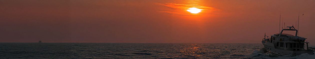
True to plan, as we approached the Quiberon Peninsula, the tide was slack and the wind had died off. The rest of the journey was on a flat, almost glassy sea with no wind.

Port Louis

Having approached Lorient via the eastern channel, we entered and turned to starboard for Port Louis where we were met by the Harbour Master in his new orange RIB, sporting matching orange framed sunglasses – cool.

We were led to the hammerhead of Pontoon B. Another lovely mooring.

Given the weather forecast and our timing, we’ll probably stay here until Wednesday when we’ll head for Sainte-Marine to explore the River Odet before leaving for Camaret on the 8th August. All to the revised plan.

Met data

Pornichet’s entrance is an S-bend to keep unwanted westerley swells at bay
click to enlarge
Pornichet: NW4, clear at 0500, becoming cloudy by 0800, good
Sea state: 1½m steep westerly swell becoming smooth
Lorient: Clear skies, NW1

Nav data

Times are FST.

Date: 1 August 2015
Departed Pornichet: 0800
Arrived Port Louis: 1432
Pinchpoint: Quiberon Peninsula
Longest leg: 21.7nm
Time en route: 7hr 25min
Planned distance: 61.6nm

Tech issues: Having been saying nil, there was nothing new on this sector. But we have a list of seven items that need engineering attention on return to Beaucette.

Piers and Lin
from the Pilot House of
Play d’eau
Fleming 55

(click on the photos below to enlarge, and use the left/right arrows)

Leg 15 (2015) – Les Sables d’Olonne to Pornichet

The day we left, the sunrise was setting the town on fire
click to enlarge
The decision was taken to make as much headway north as reasonably possible.

Northwards Ho!

After nine days in Les Sables d’Olonne of wintry cold, windy and rainy days, we had an ETD of 0700. We knew the westerly swell would be a short and steep 1½m for the first two hours but it would gradually diminish as we passed between Île d’Yeu and the mainland, destination Pornichet.

With a gentle NW2, at 0707 we quietly singled the warps, removed shore power, started Play d’eau’s Cummins engines, edged out of the Olona marina and into the fairway with a glorious sunrise and her early morning light warm on our backs.

Olona marina

Given the negative comments we’d heard about the Olona marina, we’d always chosen to stay at Quai Garnier. This time, we visited Olona simply because of our previous experience of excessive and endless noise and copious quantities of dirt at Quai Garnier, earlier this trip.

Contrary to hearsay, we found Olona peaceful and clean. We had an excellent berth (A46) and the Super U was only a five minutes walk away.

It’s sad, since Quai Garnier’s Harbour Master, Wesley, and his assistant, Plaideau, were so helpful. So would we return to Quai Garnier? Yes, but we’d have to say provided noise levels had dropped and the dirt from offloading cargo vessels had significantly decreased.

En Route

The modern, smart Olona Marina Capitainerie
click to enlarge
Almost as soon as we exited the pierheads and turned west and north west to round the town of Les Sables, the swell made its presence known. Play d’eau and her crew nodded up and down in a somewhat exuberant manner for the next two hours until we were running up the coast between Île d’Yeu and the mainland.

Knowing this is where we almost hooked a net two years ago, we doubled our watch. True to form, we spotted a net just below the surface with only two white markers some 500m apart.

Play d’eau performed a tight pirouette of which the London Ballet would have been proud, missed the net and plotted her way around it whilst we breathed a sigh of relief.

Grand Rade de La Loire

By the time we came to the Grand Rade there was only the slightest breath of wind and the swell was exhausted. It was calm. For a bit of excitement, our track took us through 14 anchored cargo vessels the largest of which was the SCF Valdai at 237m.

Pornichet

The final approach to Pornichet was through a yacht race which for some reason was being held tight across the marina and its S-bend entrance. Tough, Play d’eau was constrained by draught in the narrow channel and racing offers no additional rights of way.

Without incident, comment or raised voice, we entered the marina and settled into our berth.

Met data

We woke to find this cargo vessel on the other side of the marina. Was it capsized?
click to enlarge
Les Sables d’Olonne: NW2, clear, good
Sea state: 1½m steep westerly swell becoming smooth
Pornichet: Clear skies, NW1

Nav data

Times are FST.

Date: 30 July 2015
Departed Les Sables: 0707 (7 minutes late – call of nature)
Arrived Pornichet: 1432
Pinchpoint: None
Longest leg: 21.7nm
Time en route: 7hr 25min
Planned distance: 61.6nm

Tech issues: Nil

Piers and Lin
from the Pilot House of
Play d’eau
Fleming 55

(click on the photos below to enlarge, and use the left/right arrows)

Ambushed by the weather

8am this morning, and endless black clouds and high winds assail us
click to enlarge
Own up – who turned our brilliant weather off?

The 6 weeks following our departure from Audierne on 12th June have been utterly glorious. Sun cream by the gallon (well, not quite), calm seas and blue skies, all courtesy of a friendly Azores high pressure system spreading its wings over Play d’eau. It was perfect.

But the moment John and Beryl left nine days ago, we’ve had thunder storms and high winds created by an endless march of depression after depression which have won the battle and sent the high pressure running.

Where now?

Good question. So far we’ve been holed up in Les Sables d’Olonne for six days and the first weather window seems to be next Thursday. If so, we’ll have been in Les Sables for nine days when we only intended one.

Our plan had been to visit Île d’Yeu, Pornic, Roche Bernard in the La Vilaine River, anchor off one of the beautiful, small islands of the Quiberon Peninsula, moving onto Lorient, the Glénans archipelago known as the Breton Tahiti, and finally Port la Fôret before heading for Camaret on the Finistère Peninsula on or around 9th August.

Looking further into the forecasts brings even more depressions. Growl.

Battle plan

Well, two can play at this weather game. So, planning for the worst, rather than seven stops en route to Camaret with time off to play at each, we’ll do it in three. Pornichet, Lorient and Sainte Marine, taking any available weather window.

Meanwhile, if another high pressure graces us with its presence and banishes the depressions, we’ll stay and play. If it doesn’t, at least we know ‘the plan’.

You see, there’s always next year….

Piers and Lin
from the Meteorological Observatory of
Play d’eau
Fleming 55

Leg 6 (2015) – Port Haliguen to Pornichet

As we left port, we fell into another yacht race
click to enlarge
Now we have to give fair warning. We could easily become addicted to this. We’ve had yet another gorgeous day of cruising on glassy flat seas, calm wind and dark blue skies.

Port Haliguen

I have to say that Port Haliguen is more a convenient stop-off point rather than somewhere exciting to stay and explore. Why? Catering for visitors is not its strength. Yes, the port is well equipped to help with anything your boat might need and the Capitainerie staff is really helpful but there are two major impediments.

First, Port Haliguen is a good 1½ miles from the nearest village. Second, finding a boulangerie for your mandatory breakfast croissants and baguette for lunch, let alone a local supermarket, requires a degree in geography and specialisms in map reading and GPS.

But as a one night stop-off for planning your entry to the Morbihan or for further cruising along the coast, it’s perfect since it has an H24 access.

Destination Pornichet and…?

A lone yacht going nowhere in no wind and beautifully flat seas
click to enlarge
So we’d planned for one night only before setting course for a new destination, Pornichet, on the north coast of the mouth of the Loire by St Nazaire.

Thereafter, the (current) plan is to visit Sables d’Olonne and La Rochelle (the locked Les Chalutiers marina – vieux port) where we’ll have our stabilisers fixed and meet John and Beryl who are flying out to spend a fortnight with us as we further explore the coast together.

The WW2 raid on St Nazaire

Lin’s Dad was in the Royal Navy during the last war on the Hunt-class destroyer, HMS Atherstone. Operation Chariot was the raid on St Nazaire with the objective of destroying the gates of the Normandie dock by ramming them with an explosive-packed destroyer, the obsolete HMS Campbeltown, to prevent the dock’s use by the German battleship Tirpitz.

The memory of his account of what happened with HMS Atherstone differs significantly from the history books….

En route

Morning trawling leave a long line of hungry seagulls
click to enlarge
With no serenade from Alain as we left port, Piers let rip on the Kahlenbergs only to find a yacht race in full flight in front of us complete with support vessels buzzing about!

Piloting Play d’eau around the back of the fleet before paralleling and overtaking them, we were astonished to see the yachts were making some 5 knots in just a 2 knot wind. Then we realised they had their engines on so were actually motorboats in disguise.

The whole trip was in flat calm water and uneventful. Addictive.

We have a day off tomorrow (Sunday) and plan to move on to Sables d’Olonne on Monday.

Nav data

Times are FST.

Departed Port la Fôret: 0900, 19 June 2015

At low tide, a small island appears on the Plateau du Four
click to enlarge
Pinchpoints: None
Departed Port Haliguen: 1030
Longest individual leg: 19.9nm
Arrived Pornichet: 1458
Time en route: 4hr 28min
Planned distance: 34.85nm

Tech issues: None

Piers and Lin
from the Chart Table of
Play d’eau
Fleming 55