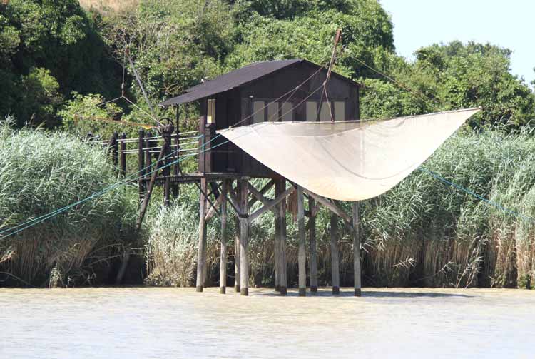
Tag Archives: Charentes Maritime

Leg 12 – Rochefort to St Denis d’Oléron – 5 August 2013

Sunrise over the Embouchure de la Charante almost two hours after leaving Rochefort
click to enlarge
At 0500 the swing bridge swung, the lock gate unlocked and the green exit light greened. Casting off at 0507, we eased our way towards the exit in the glow of the marina’s spartan lighting.

The Harbour Master was there to bid us farewell. ‘Bonne navigation,’ he called. ‘A l’anée prochain,’ we responded.

Who turned the lights out?

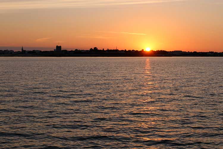
Leaving the lock to enter the river it was as if someone suddenly turned all the lights out – literally. Nothing, but nothing could be seen apart from a few distant spots of light from a house or car, and with sunrise not expected until 0638 we had a good 45 minutes or so before anything might be seen with pre-dawn twilight giving us plenty of time in which to find a mud bank….

Instead, we navigated on instruments with the screen of our FLIR thermal imaging camera displaying the river ahead. The detail was stunning. It was as if it was daylight. The ripples on the water, terns swimming and taking off as we approached, branches of trees – how brilliant was that?
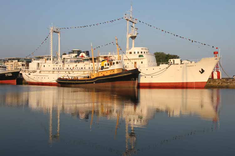
The SW corner of Île d’Aix where we anchored in glassy flat seas. Soon, the sky darkened, the wind changed and picked up, and the seas started to mis-behave
click to enlarge
Concentrating on that, the radar and depth sounder, we threaded our way deeper into the black as if blindfold. The FLIR was exceptional. With the chart plotter as back up, all was well – even our heart rates.

The nav plan

Two main pinch points on this journey to Port St Denis in Île d’Oléron.

Departure from Rochefort was limited to 0500 – 0530 and entry to Port St Denis was limited to between 1600 and 1800.

This gave us far too much time to cover the 25nm journey so we planned to break the journey part way by anchoring off the west side of Île d’Aix in the lee of any E’ly wind, have breakfast, sleep, catch up with some work, and leave for Port St Denis at 1445.

The Journey

Having exited the Embouchure de la Charante we dropped anchor 0732 in a perfect spot; flat, silky calm, and completely shielded from the wind.
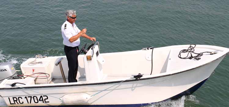
The Capitainerie at Port St Denis, Île d’Olérone
click to enlarge
With the anchor’s snubbing line installed, the anchor ball proud in Play d’eau’s bows, Lin produced a cooked breakfast of ‘eggy bread’ (scrummy) and we sat back to enjoy the day. Well, that was the intention.

Where did that come from?

Soon after 1100, the sky darkened, the wind changed to a NW’ly at 15 gusting 23kts and started to build a sea with a tall, short and rather nasty chop. We began to roll around. This hadn’t been forecast.

Given our earliest arrival time at Port St Denis, we couldn’t leave until 1445. Moving anchorage wasn’t an option either; all the allowed anchorages were either exposed to this wind and/or the endless wakes caused by the multiple fast ferries that ply between the islands.

We braved it out, eventually weighing anchor at 1445 and heading for Port St Denis. At times, spray flew over the top of Play d’eau as she pitched, sometimes rather excitedly, whilst the stabilisers coped brilliantly with any roll.
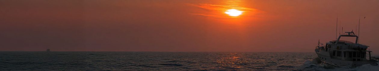
The sand is really soft and a lovely deep orange golden colour
click to enlarge

As ever, Play d’eau coped well, nothing was broken and I gave her a good long bath when we arrived.

Arriving

Port St Denis was crowded, as if the world of ‘those who normally anchor out’ had taken shelter. We managed to squeeze into a space giving barely a metre at either end, and within no time at all we had two large yachts rafted up against us.

At least we weren’t rolling anymore and Lin, for one, was happy.

The tecky details

Departed Rochefort – 0507
Arrived Île d’Aix – 0732
Departed Île d’Aix – 1445
Arrived Port St Denis – 1620

Total distance – 24.9nm
Longest leg – 12.9nm from Rochefort to the Embouchure de la Charante
Tech issues – nil

Piers and Lin
From the Nav table of
Play d’eau
Fleming 55

You can get in touch with us any time by using our Contact Form.

Leg 11 – La Rochelle to Rochefort – 31 July 2013

The fortified and walled city of La Rochelle
click to enlarge
We’ve had a great time in the Bassin des Chalutiers in the Vieux Port of La Rochelle.

One of our sons, his wife and two children came to meet us for a day; we explored the Maritime Museé and the town; we walked; we were hot; we used the air con many times, and we met Pat and Michelle who spend their life racing their Class 40 yacht, Croix du Sud, all over the world – literally (see photo below).

The nav plan

There were two pinch points on this journey.

Rochefort is some 12nm up the River Charente and we’d been advised the lock gate to the marina would only be open between 1300 and 1400. If we missed it, we’d have to wait until the next day to gain access.

The 3500 berth Les Minimes marina at La Rochelle
click to enlarge
Back at the Bassin des Chalutiers, the exit lock gate wouldn’t open until 1130 leaving us with a maximum of two and a half hours for the journey, in turn demanding an average speed of 12 knots. Too fast as far as I’m concerned, and even if we travelled at this speed there’d be no margin to play with.

Instead, we took the 2215 lock gate yesterday evening from the Bassin des Chalutiers and motored all of 1nm to Les Minimes marina. Given Les Minimes has 24hr access we could leave at our leisure for Rochefort, today.

The Journey

Having had strong W’ly winds for the last few days with the occasional rain and thunder shower, today was different. Hot, clear skies, with only a light E’ly wind. Perfect.

Passing Fort Boyard, we entered the Charente river an hour or so before high tide expecting the flood tide to give us an extra knot. Interestingly, the tide was against us yet in the last mile it changed and the river was still on the flood.

Fort Boyard between Ile d’Aix and Ile d’Oléron
click to enlarge
Crazy – or am I missing something? Yes, I checked high tide with the Capitainerie and there was no mistake.

Arriving

The Charente river is lovely although an avocado green of mud in suspension. We followed the many leading marks passing strange fishing huts on stilts with large nets. Anyone know what these are for?

An astonishing piece of engineering is Le Pont Transbordeur, which suspends a cabin just above water height taking people and cars from one side of the river to the other, linking the road.

We were met by the Harbour Master in his dory and shown to a good berth. By gum, the marina’s a sun trap measuring well into the mid-30 degrees C.

There are many of these huts on stilts with huge nets along the river Charente
click to enlarge
Can’t wait to explore the town and tour the Hermione which we saw close to the marina – it’s on tomorrow’s agenda.

The tecky details

Departed Les Minimes, La Rochelle – 0720
Arrived Rochefort – 1322
Planned distance – 25nm
Longest leg – 12.9nm up the River Charente
Tech issues – nil

Piers and Lin
From the Nav table of
Play d’eau
Fleming 55

You can get in touch with us any time by using our Contact Form.

The 113 year old Le Pont Transbordeur
links the road on either side of the Charante
with a suspended ‘flying cabin’.
You can see the cabin close to the water
at the base of the left leg
click to enlarge
The Transbordeur cabin started its crossing after we’d passed.
click to enlarge
Pat and Michelle on Croix du Sud.
Having raced nearly every yacht race there is (including the Sydney-Hobart ‘many times’)
their next race is the non-stop Le Havre-Brazil.
click to enlarge

A Red Letter Day

The two ‘weasels’ with Dad in the dinghy
click to enlarge
We had a great treat yesterday.

One of our sons, his wife and two children are on holiday staying with two of their dear friends who live in Riberac, France.

Yesterday, they all came to visit us on Play d’eau in the Bassin des Chalutiers, La Rochelle.

Arriving just before lunch it was so good seeing them all again; we’d missed the family so much, and the two grandchildren, the ‘weasels’, gave us such hugs.

Their friends had created and brought a superb lunch with them, after which some of us dozed and had a siesta. Meanwhile, Play d’eau’s dinghy had become the focus of attention.

The weasels, as the grandchildren are known, tested the Torqeedo battery operated outboard to the full. Brilliant fun all round.

Madam in charge in the dinghy with Dad as an optional extra
click to enlarge
A late afternoon stroll into the old town with ice creams was ‘de rigueur’ followed by dinner of various moules dishes on the quayside to complete our red letter day.

It can’t get much better than this.

Piers and Lin
from the Saloon of
Play d’eau
Fleming 55

PS – Lin has almost managed to eradicate the cherry stains from the sofa….

You can get in touch with us any time by using our Contact Form.

Ocean station vessel, this is Speedbird …

The France 1 Ocean Station Vessel
50 crew, launched 1958, decommissioned 1985
click to enlarge
“Ocean Station Vessel Lima, Ocean Station Vessel Lima, Ocean Station Vessel Lima, this is Speedbird 201, over.”

When flying for BOAC in the 1970s, I’d call these ocean station vessels (OSVs) on the VHF radio when overflying the Atlantic. Being stationed in specific geographic locations, OSVs could identify you by radar and advise your position. Really helpful given astro-nav and Loran were the two main navigation aids – there was no GPS in those days.

The ship France 1

France 1 is now a Maritime Museum moored in the Bassin des Chalutiers in La Rochelle, just across from where we are with Play d’eau.

Yesterday, we paid our few euros, picked up the English France 1 briefing, and boarded her. Standing on the aft deck Lin began reading.

‘France 1 was a stationary meteorological frigate operating in the Atlantic in the 1970s.’

OSV locations on the Atlantic
click to enlarge
It turned out that France 1 was an OSV, and more to the point, one with which I must have had radio contact during the many Atlantic crossings I did in the Boeing 707 in the 1970s. Memories began flooding back.

Mayday, Mayday, Mayday

I only ever heard one Mayday whilst flying and it was over the Atlantic, at night. A Piper Cherokee Arrow, a small single engine light aircraft with retractable undercarriage was en route from Newfoundland to Ireland.

The pilot was radioing a Mayday. No was answered, so I responded. He told me the Cherokee’s undercarriage had suddenly come down, adding drag, decreasing his airspeed and increasing his fuel consumption such that he now had insufficient fuel to reach Ireland and would have to ditch in the Atlantic. Could I contact the nearest OSV for radar guidance so he could ditch next to it and be rescued?

On the radio you could sense his relief at knowing he now had a potential route to survival.

I contacted the closest OSV. Yes, of course they’d help. I asked for the sea state. It was dreadful. Really dreadful. High winds, high seas, with huge primary and secondary swells. With full cloud cover and no moon it would be pitch black. He wouldn’t be able to see anything. His chance of surviving would be minimal.

The Communications Room on the France 1
The full size cardboard cut-out (left) is not me!
click to enlarge
Passing the sea state back to the pilot you could hear the fear grip his voice.

In the short pause that followed, a new voice came over the ether. ‘Speedbird, this is Ascot, over.’

‘Speedbird, this is Ascot’

Ascot was the callsign used by the RAF, and in this case it was an RAF Nimrod aircraft designed for maritime surveillance and patrol.

‘Speedbird, we have altered track to intercept the Cherokee and will shortly be in range to talk direct. Meanwhile, can the pilot give us his rate of fuel burn and remaining fuel?’

In the minutes that followed, the Ascot was in direct contact with the Cherokee just as we flew out of range. The last transmission I heard was, ‘Cherokee, this is Ascot. If you would like, we will direct you on the most efficient track to Shannon. We will overfly and follow you and if you need to ditch we will drop a survival raft and alert the rescue services accordingly. Would you prefer this to ditching by the OSV?’

France 1 had 3 x Paxman Norton 850hp main engines
creating 110dB and 35C in the engine room
click to enlarge
I didn’t hear the response from the Cherokee – we’d just flown out of range.

Any news?

The next morning I bought the Daily Telegraph hoping to find some news. Inside, a column inch stated ‘Yesterday, an RAF Nimrod on Atlantic patrol escorted a Piper Cherokee to Shannon after it had declared an emergency. Under guidance from the RAF the Cherokee managed to land at Shannon moments before running out of fuel.’

As I gazed at the communications room in France 1, I was re-living the moment and wondering if this was the OSV with which I had acted as that Mayday Relay?

Piers
from the Saloon of
Play d’eau
Fleming 55

You can get in touch with us any time by using our Contact Form.

The France 1 was diesel electric.
Each of her three main engines turned
a generator (above) to power…
click to enlarge

…two electric motors
one per propeller shaft
click to enlarge

Leg 10 – Les Sables d’Olonne to La Rochelle – 18 July 2013

Pre-dawn long-range pic of Les Sables tralwers off-loading their night’s catch
click to enlarge
As dawn was preparing to make her golden appearance to grace another red hot day, there was just enough light to see the trawlers off-loading their night’s catch at the maritime cooperative.

La Rochelle’s Bassin des Chalutiers was today’s destination.

Leaving Les Sables d’Olonne

Play d’eau was moored port side to. Having singled out the warps, Lin took the helm. Using a forward spring and a touch of starboard throttle, Lin gently eased the stern off the pontoon before engaging reverse power to take us off the berth at our planned departure time of 0730.

Neat, so neat.

The Journey

Flat calm and hot as we headed towards La Rochelle. On days like this it can be difficult to distinguish between sea and sky
click to enlarge
Flat, calm seas, under a hot sun. We almost succumbed to having the air conditioning on in the Pilot House, but noblesse oblige came to the fore. Instead, we baked (and regretted our decision).

Arriving

Access to the Bassin des Chalutiers is through a lifting bridge and lock gate, which is only opened for around two hours at top of tide. Hence, our early departure from Les Sables d’Olonne.

As we travelled under the huge bridge that links the beautiful Île de Ré with La Rochelle, we passed the deep water port before turning into the approaches to La Rochelle.

Giving the Capitainerie 30 minutes notice of our pending arrival on channel 9, we were met by M. Christian, Harbour Master, in his dory. Within moments the bridge lifted and M. Christian led us though the lock gate into the basin and to our berth.

We have electricity, water and Wi-Fi.

The tecky details

M. Christian, Harbour Master, guided us through the lock gate and to our berth
click to enlarge
0730 FST – Departed Quai Garnier, Les Sables d’Olonne
1245 FST – Arrived Bassin des Chalutiers, La Rochelle
Planned distance – 36.3nm
Longest leg – 13.7nm – Bourgenay SWM to NNW of Pt Grouin
Waypoints – 13
Tech issues – None.

Note: The oil leak reported on Leg 9 is under watch and will be repaired when back in Beaucette. The stabiliser pump and gearbox will have to be removed before the flywheel housing is exposed, after which the offending seal can be replaced.

Piers and Lin
from the Engine Room of
Play d’eau
Fleming 55

You can get in touch with us any time by using our Contact Form.